Timeframe: June 2024 - March 2027
Funding Source: State NRM
Project Coordinators: Tamzin Bowe
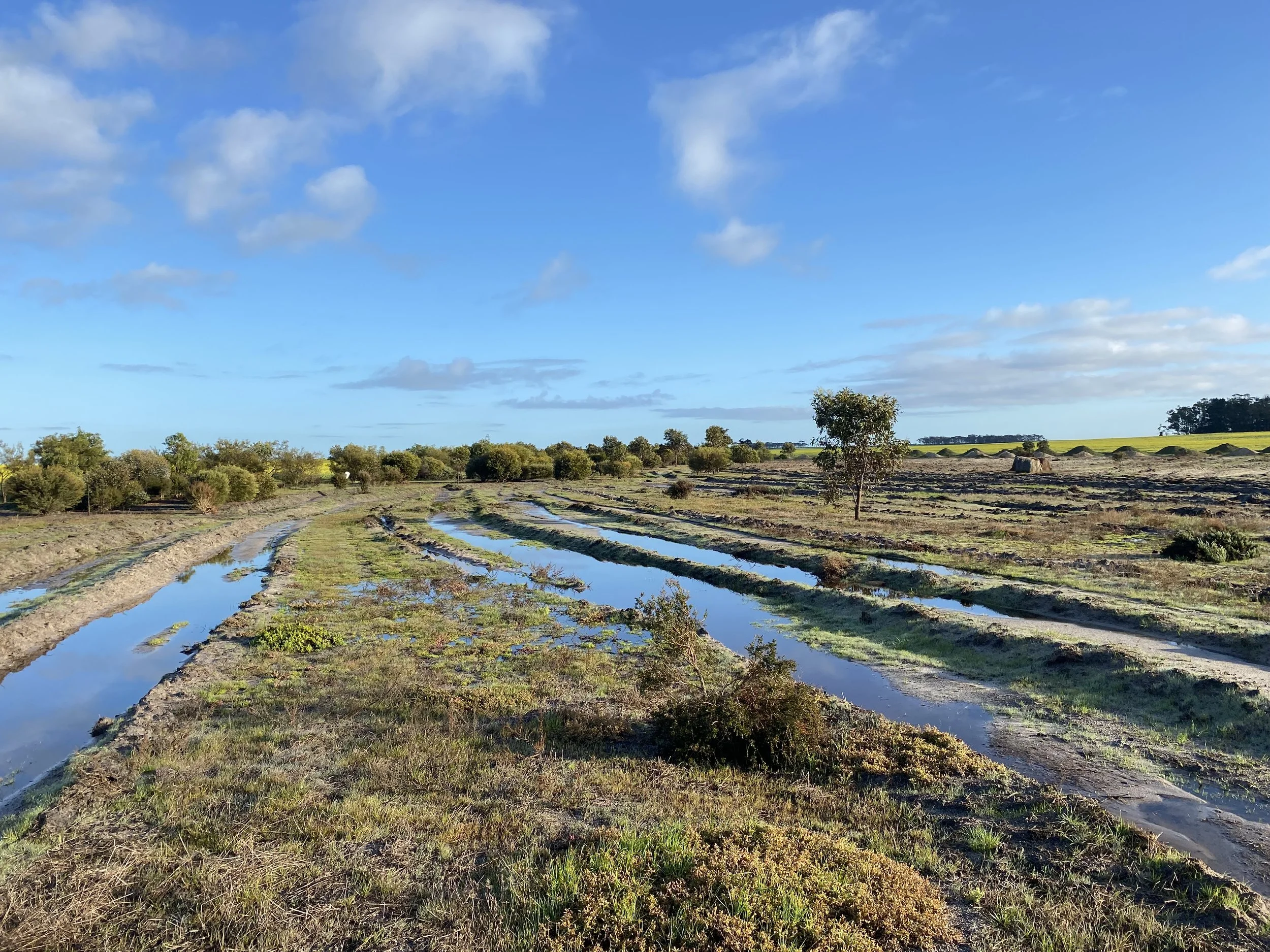
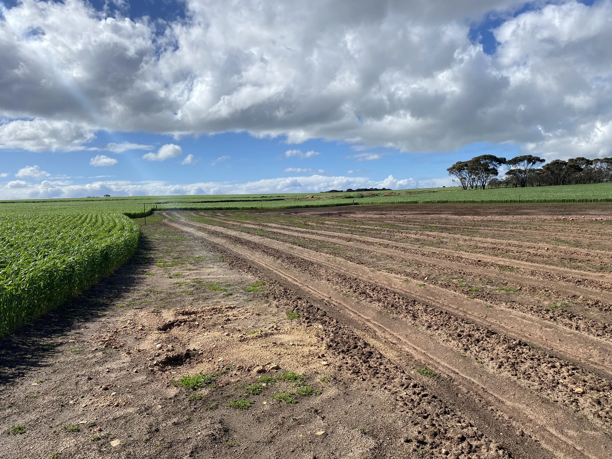
Overview: This project builds on the Fitzgerald Biosphere Group’s previous initiative, Regenerating Saline Land: A New Approach to an Old Problem. It aims to strengthen local skills and knowledge while implementing on-ground actions to address salinity and landscape degradation across catchments with the Shire of Jerramungup. Revegetation and seed collection have been a focus of the project, with priority placed on sourcing locally adapted native seedings suited to saline and degraded environment. The project is working closely with the Nowanup Rangers to collect and clean seed collected from remnant vegetation close to sites. To date 37 ha of previously unproductive land has been planted using a mix of locally sourced seed and nursery-grown seedlings. Fencing degraded areas is also on-going.
On-ground Works:
2025
13ha seedlings planted at Gairdner site.
8.5ha of direct seeding and seedlings planted at Jerramungup East site.
2026
3km of stock exclusion fencing for protection of salt affected land at Jerramungup site.
5km of fencing planned for stock exclusion zones and 17ha of revegetation at Needilup site.
16ha of revegetation direct seeded at Needilup as part of our three-year salinity project.
Events:
2025
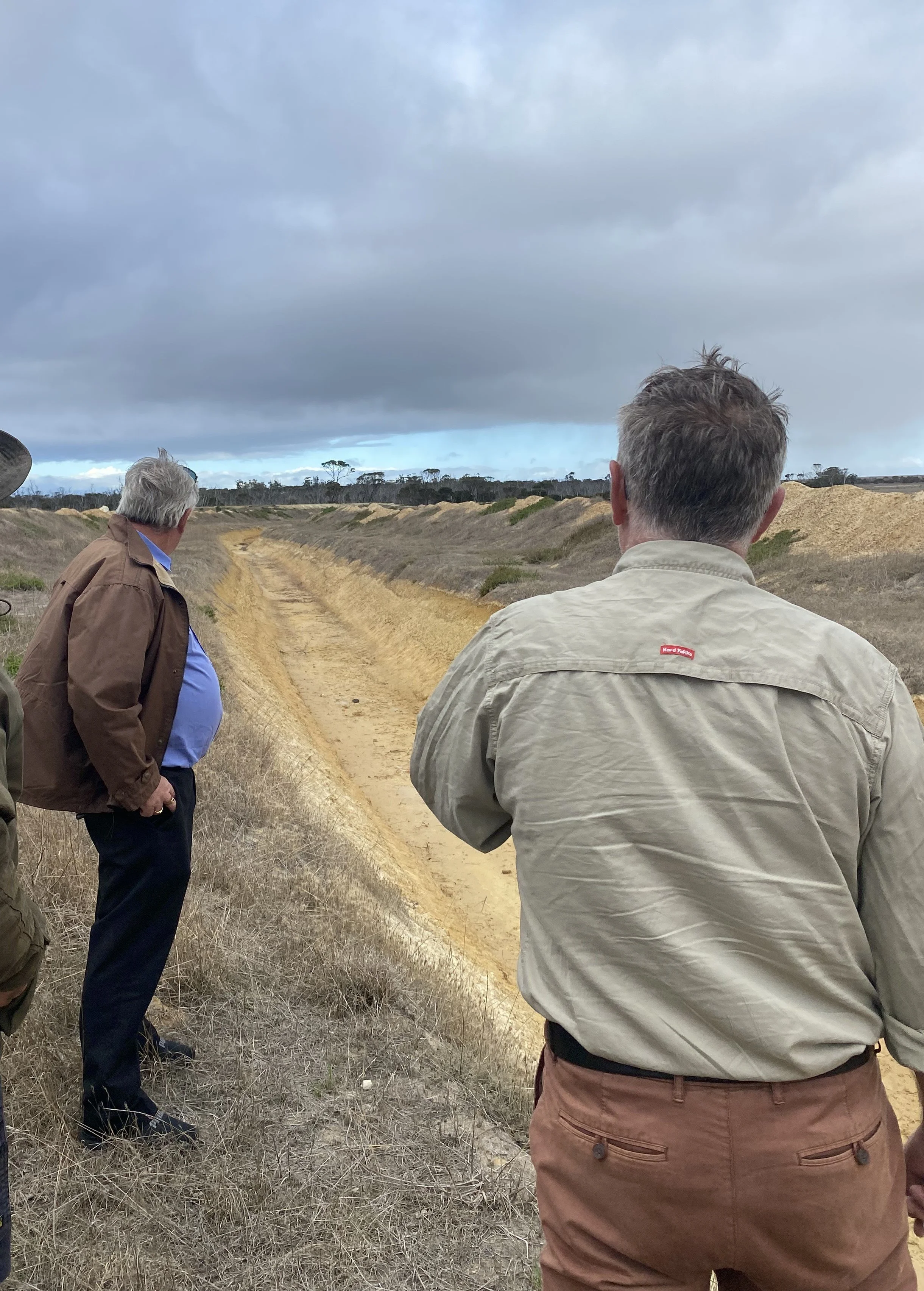
Saltland Drainage Workshop: Delivered by John Firth and John Simmons from the department of Primary Industries and Regional Development. View the key takeaways below.
Seed collection: worked alongside Nowanup Rangers to collect and clean seed for our 2026 revegetation sites.
Monitoring:
Groundwater levels are monitored annually, via a network of piezometers across the shire. This data helps identify hydrological trends and supports informed decision-making for management. The local river systems (Bremer, Gairdner and Fitzgerlad) are monitored quarterly, 14 sites across the systems are visited and measurements including Electrical Conductivity, pH and turbidity are collected along with photo-points. This helps track river health and changes in water quality.
Resources: